Trip Reports
5/30/12
Last night we received an incredible amount of rain during a short period of time with vicious thunder and lightening. I expected the water level to be very high today, and what I found was the opposite. The put-in looked like pure rocks, with a bit of water winding it's way between them. I scraped bottom almost the entire way, making for an unpleasant day of kayaking. The USGS Gauge on the Mohawk River in Cohoes was at 6,000 feet.
5/15/12
It was raining steadily but lightly all day today, and after a week or so with more rain than we have had in a long time. The water level of the Mohawk River in Cohoes was at 10,000cft/s. The water level on the Alplaus Kill was high, and running faster than I expected. The place I usually put in was under water, making for an awkward entry. I just got a new spray skirt that is very difficult to seal. Before I was able to get it in place, the current pulled me into the wavy rapids. As I crashed through the big waves, I thought I was done for. I paddled like a madman to get to the other side of the river, and luckily made it to a quiet spot before I took on much water. By the time I got the skirt in place, I was panicked, exhausted, sweaty, and my glasses were fogged over. Not a good way to start the ride. I tried to take things carefully, eddying out often to look ahead and make a determination as to the safety of the water ahead. I portaged in a few spots rather than face dangerous obstacles in the fast-moving water. In many places, the waves were 3-4 feet high, much larger than I have dealt with before. Many of the waves could have been fun to play in, but I focused my efforts on getting past them so I could return home in one piece. I spent most of my time avoiding the fast current and big waves, when usually the water is calm enough that I am targeting the rough stuff. The following video shows the put-in:
5/2/12
I repeated this route in May, 2012. I have been keeping an eye on the USGS water level for the Mohawk River in Cohoes with the assumption that the water level in nearby waterways is related. I would expect that the water level in a smaller stream would rise and fall faster during and after a rainfall than the Mohawk because the Mohawk is collecting water from a large area, including delayed influx of groundwater and distant upstream tributaries. Today the water level on the Alplaus Kill was a bit on the low side. There was a good amount of water, but in the shallower sections it was scratchy. I was able to kayak without getting out of the boat to walk but I had to push myself over a few rocky sections with my hands on the ground. The reading on the 30-day graph of the water level on the Mohawk River in Cohoes is 11.5' (8000cft/s). Despite the elevated level on the Mohawk, I *think* that the water level this time was significantly lower on the Alplaus Kill than last time, although I am only going on the descriptions so I am not sure. The waterfall on river left was actually flowing more heavily today than in the above photograph. Perhaps distant rainfall affected the Mohawk without affecting the Alplaus Kill. That being the case, my assumption that the water level on the Mohawk is related to that of the Alplaus Kill is not exactly correct.
7/7/11
Today I kayaked down the lower part of the Alplaus Kill from just below Crystal Falls downstream from Route 50 to the Mohawk River.

I headed out early this morning before work.
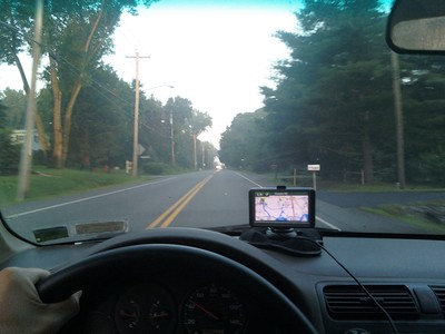
I parked my bike at the public dock near the Boat House in Niskayuna.
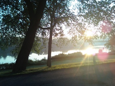
I had a place in mind where I was hoping to access the riverbank, but the small road leading down to the path to the river was gated with "no parking" signs along the way. I scouted around for another way to access the river, and checked out Crystal Falls.
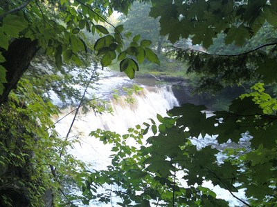
Here is a picture of the falls taken downstream a short distance.
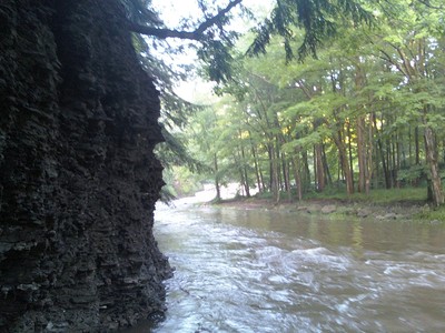
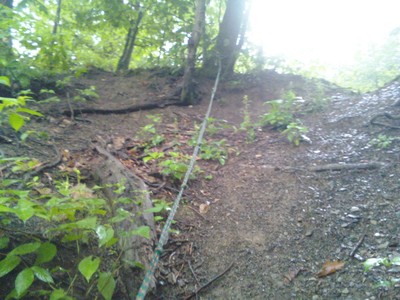
Eventually I found a way down to the river, although it was rather difficult. It was a bit of a struggle getting the boat to the water, but luckily somebody had left behind a rope that was worked well enough for easing the kayak down a very steep hill.
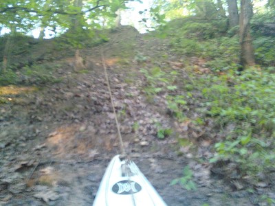
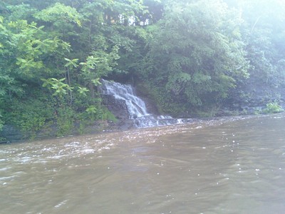
It rained a bit last night, so I was hoping that the water would be high (but not too high). I kayaked my way down, and there were really nice rapids along most of the way. It was not difficult to stay in control, so the rapids felt safe. The water was generally nice and wide so fallen trees in the stream were often easily avoided. There were a few log jams that I had to get out and pull the boat around. The water was generally shallow enough that bailing out in the case of an emergency always seemed like a reasonable option. There was a nice waterfall along the way.
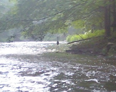
A great blue heron leapfrogged down the river. I would catch up to him and he would fly down the river a short ways, and we repeated this process for quite a while.
Most of the way down the river, it looked about like this:
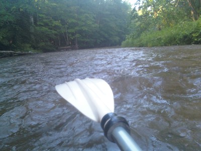
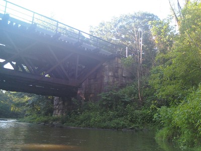
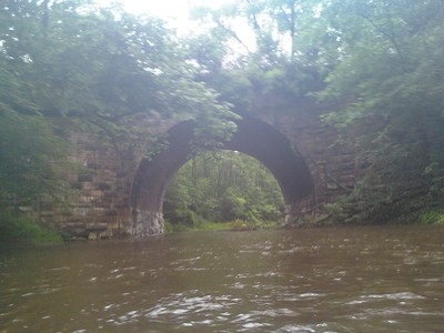
There were several areas where the rapids were more fierce than this, but unfortunately I was too busy paddling to stop and take pictures of the more exciting rapids. There was a railroad bridge along the way.
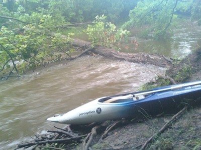
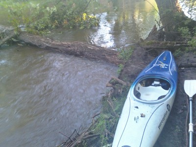
I took a picture of a log that I had taken a picture of on my last trip in order to get an idea of the water level difference. It looks like it was only a little bit higher the other day (left) than it was today (right).
Eventually I reached the confluence of the Alplaus Kill and the Mohawk River.
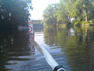
It was a short paddle back to the public dock and I was done!
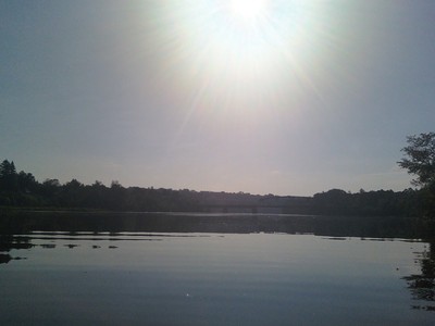
This was probably the best trip I have taken so far, not including the difficulties with getting to the put-in location. The trip was fast moving and exciting, but not scary. According to the book I have, this section of water includes Class I and Class II rapids.
Distance: 6 miles
Elevation change: 80 feet
Avg Slope: 13 feet per mile
Time taken:
* 1 hour, 40 minutes to kayak
* 30 minutes to bike back to the car
* USGS Mohawk River Cohoes Reading - 6,000cft/s (perhaps 11'?)
6/24/11 - Bad Omens on the Alplaus Kill
I set out to kayak the Alplaus Kill before work this morning. I'm not generally superstitious, but today there were too many signs to ignore suggesting that today was not my day to take any unnecessary risks. If something terrible happens to me sometime in the near future, let it be known now that I was warned. In the meantime I plan to walk a little more carefully than usual.
It has been raining steadily for the last several days, so there is a much higher volume of water running down the stream than usual. When I arrived at my planned starting point, I glanced upstream to see a surprisingly Niagara-esque waterfall. This was my first sign that maybe I should not rush into anything:
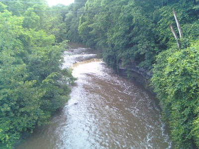
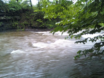
From looking at satellite images of this area of the stream, I knew that there would be some kind of waterfall a short distance downstream that I would likely need to avoid by hopefully carrying the kayak around it. I decided to walk down the stream in order to get a better idea of what I'd be up against. Along the way, the water was moving very fast, faster than I am comfortable with:
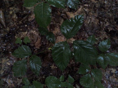
Before I reached the falls, I came upon poison ivy (or at least something that looks a lot like it). There was no avoiding it if I were to press onward. My bare legs would not allow me to continue.
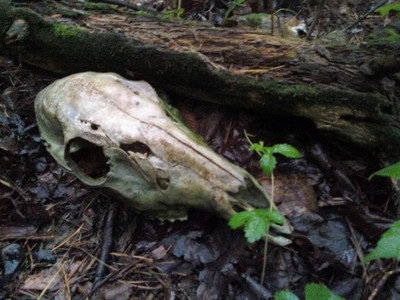
I headed back to the car, and drove downstream a bit to an area past the waterfalls where I thought that I might be able to access the stream. On my walk through the woods towards the stream, an intimidating trail marker warned of unspoken dangers ahead.
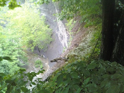
When I reached the stream, I found myself standing atop a 100 foot cliff looking down at the water below.
A rope down the steep slope invited me to climb down to get a better look.
After exploring the stream for a short while, I hiked back to the car, and drove to a bridge just a short distance upstream from where I was planning to exit the water. I put the kayak in the water, and paddled down the stream. I encountered a couple of log jams along the way that I had to climb out and pull the boat past.

The ride was peaceful and quiet.
Along the way I came across this crushed aluminum canoe, yet another sign of foreboding for my trip.
It wasn't all morose. I saw ducks. They were cute.
I think that this might be a great place to kayak on a calmer day. I need to scope out some places where I can put-in perhaps past the water falls just after Saratoga Road.
My planned route started at the Saratoga Road bridge, and ended at the Alplaus Road Bridge, at mile 4.8. After seeing how the river looked after the heavy rains, I put the kayak in the water at around mile 4, so I only kayaked the last mile.

Related Links
* Alplaus Kill Biological Assessment
Related Entries
* Kayaked Upper Alplaus - 09 July 2011
