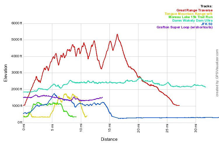
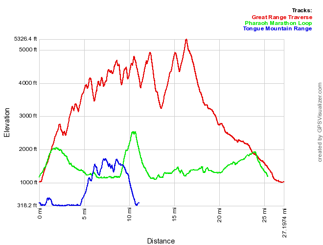
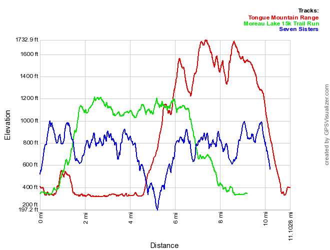
Looking to compare two sets of GPS tracks? GPS Visualizer has a great site for creating side-by-side comparisons. For example, here is a chart comparing the Great Range Traverse, Tongue Mountain Range Loop, Moreau Lake State Park 15k course, Wakely Dam Ultra, JFK 50, and Grafton Lakes State Park:

It's really interesting to see that Grafton is higher elevation than Moreau, in fact it's as high as the tops of the Tongue peaks. It certainly explains the Adirondacksyness of the area.
To compare multiple GPS tracks from GPX files, go to GPS Visualizer and select "Profiles (elevation, etc.)". I chose the options, "Profile Width: 500", "Units: U.S.", Add DEM", "Colorize by track" and "Cumulative distance: No". Select a few GPX files and "Draw the profile" and wait for your comparison!


