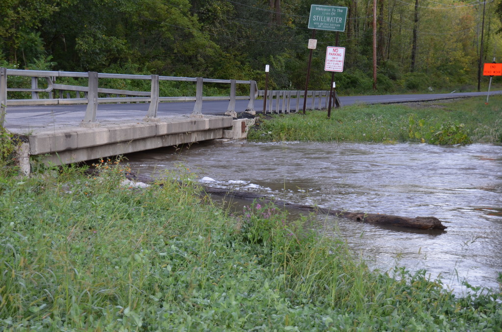
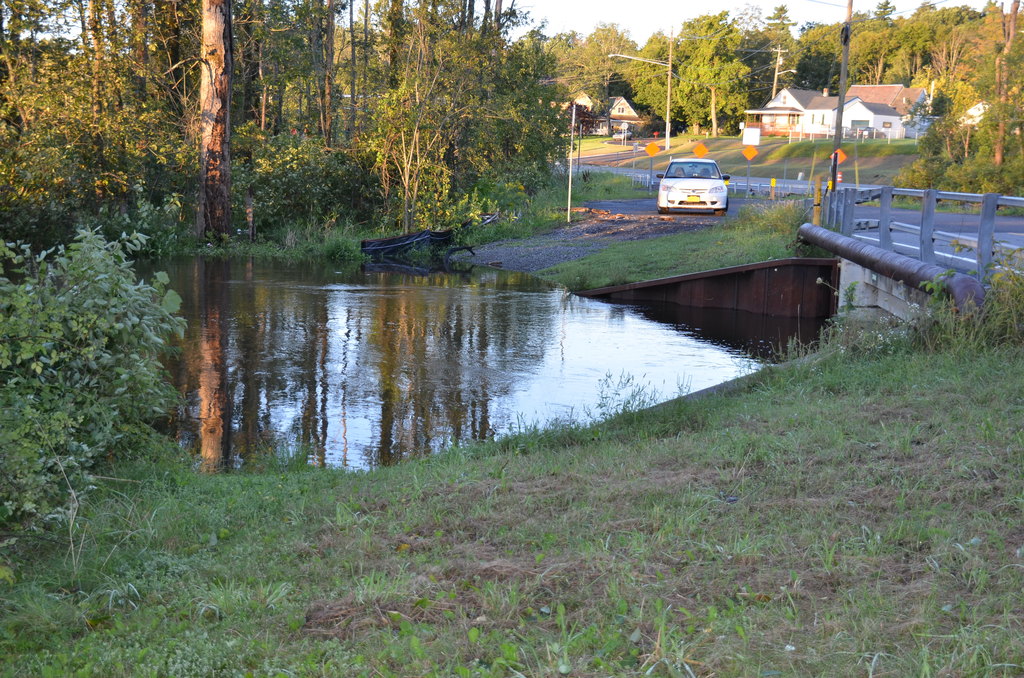
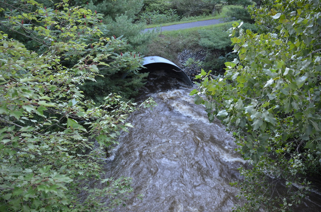
Anthony Kill
Ordinarily the Anthony Kill stays safely nestled in its small creek bed, but now that it has nearly outgrown the Coons Crossing Bridge that stands over it, nothing can stop it from going wherever it pleases.
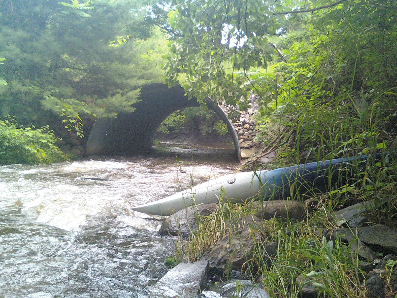
Ballston Creek
The following picture shows the bank on Ballston Creek near the outlet into Round Lake from which I have started a previous kayaking trip back when the water was not so high. Ballston Creek has swelled quite a bit.
The next picture shows the water level at Eastline Road.
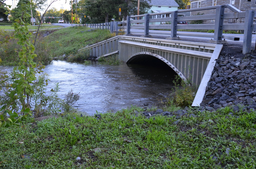
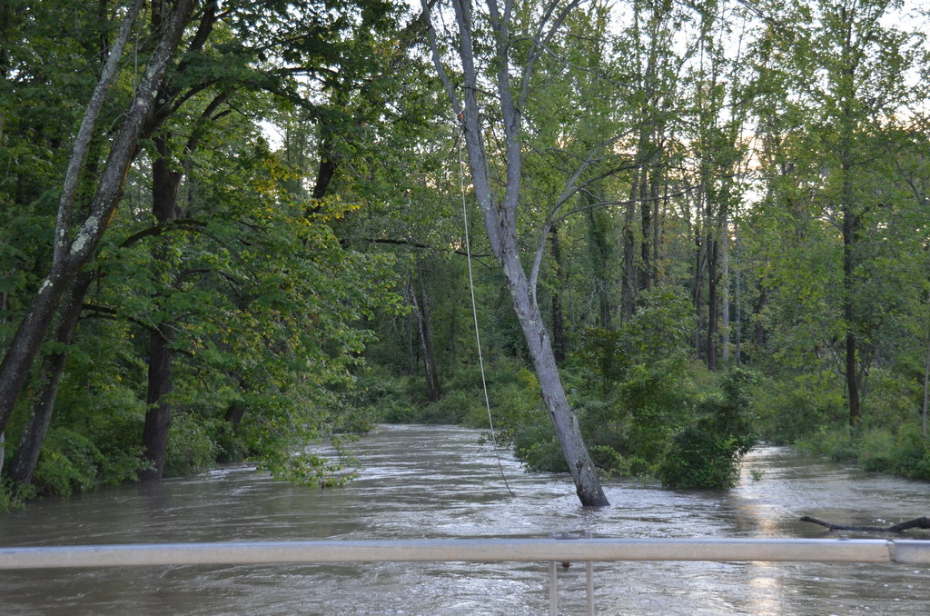
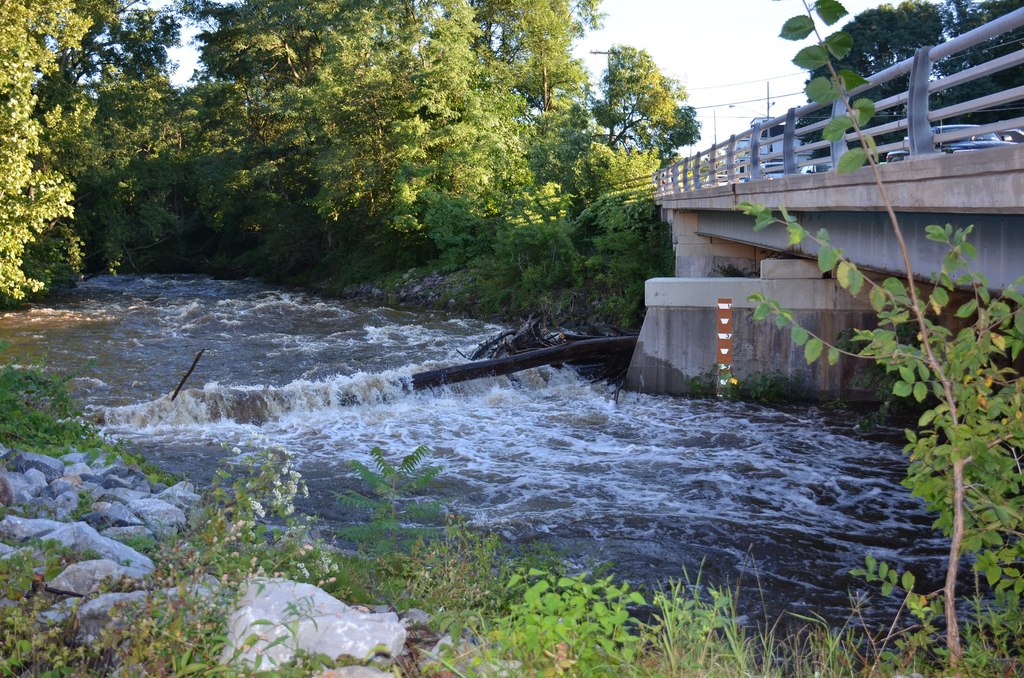
Mourning Kill
For most of the year, the Mourning Kill trickles quietly along its rocky creekbed. Even after a heavy rainfall it rarely reaches the levels that it did today.

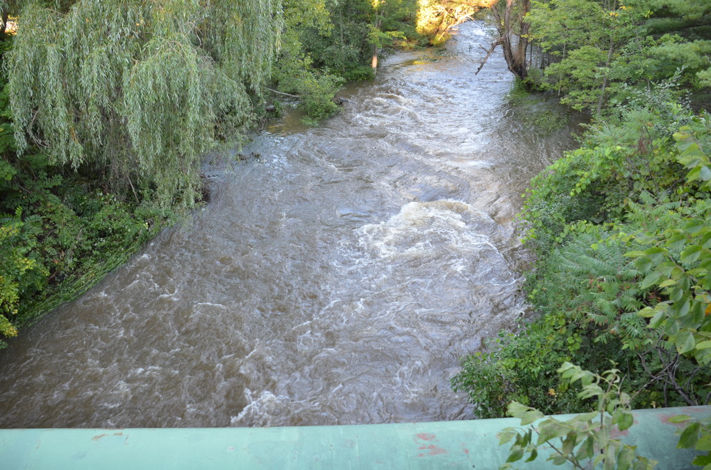
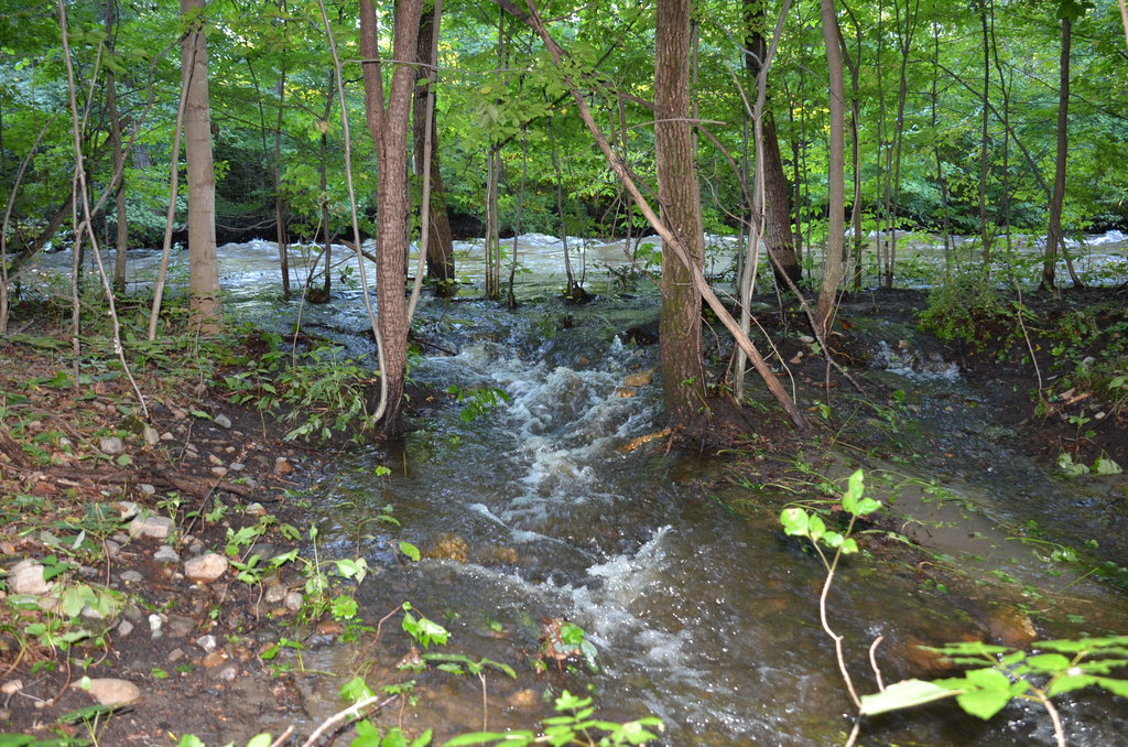
Kayaderosseras Creek
The Kayaderosseras Creek near Milton was higher than I have ever seen it. Creekside trees were holding fast to the ground as the water swept through. The water poured over the edges, forcing its way along the trackless wayside.
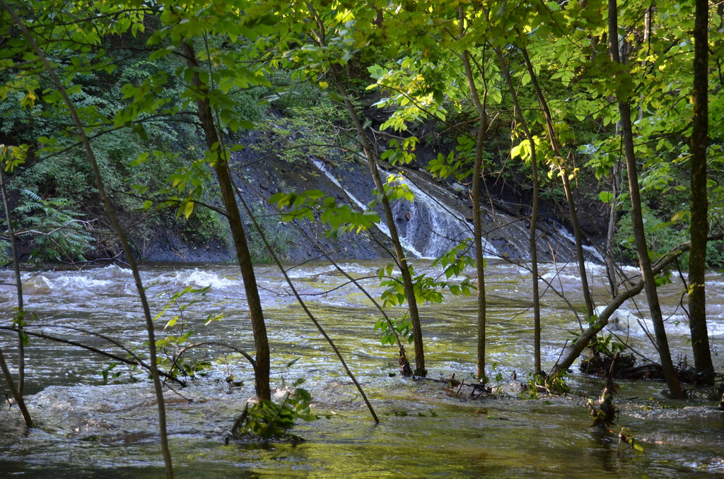
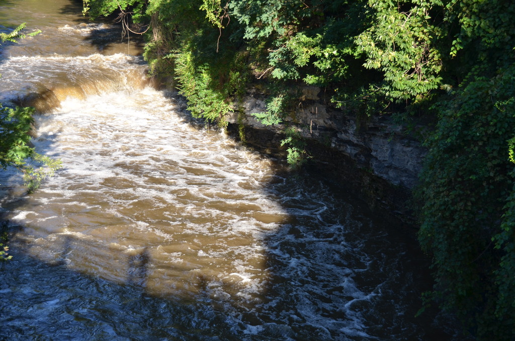
Alplaus Kill
Sometimes the water gets so deep that it completely submerges large features like waterfalls. The waterfall above Saratoga Road in East Glenville actually looks smaller than usual because of the heavy flow filling up the bottom portion of the falls on the Alplaus Kill.